Drone Training For Conservation Organizations and Non-Profits
We help conservation organizations build drone capacity in-house. Hardware, and software selection is daunting. Workflow development is a time-consuming iterative process of trial and error. ForeSight develops custom curricula tailored to your needs so you can get the imagery and data you need, while saving you time and money.
Build drone capacity in-house
Equip your team with the knowledge and tools needed to harness drone technology's full potential, efficiently and cost-effectively. We're here to simplify the complexities and empower your team with robust internal drone capabilities.
What We Offer
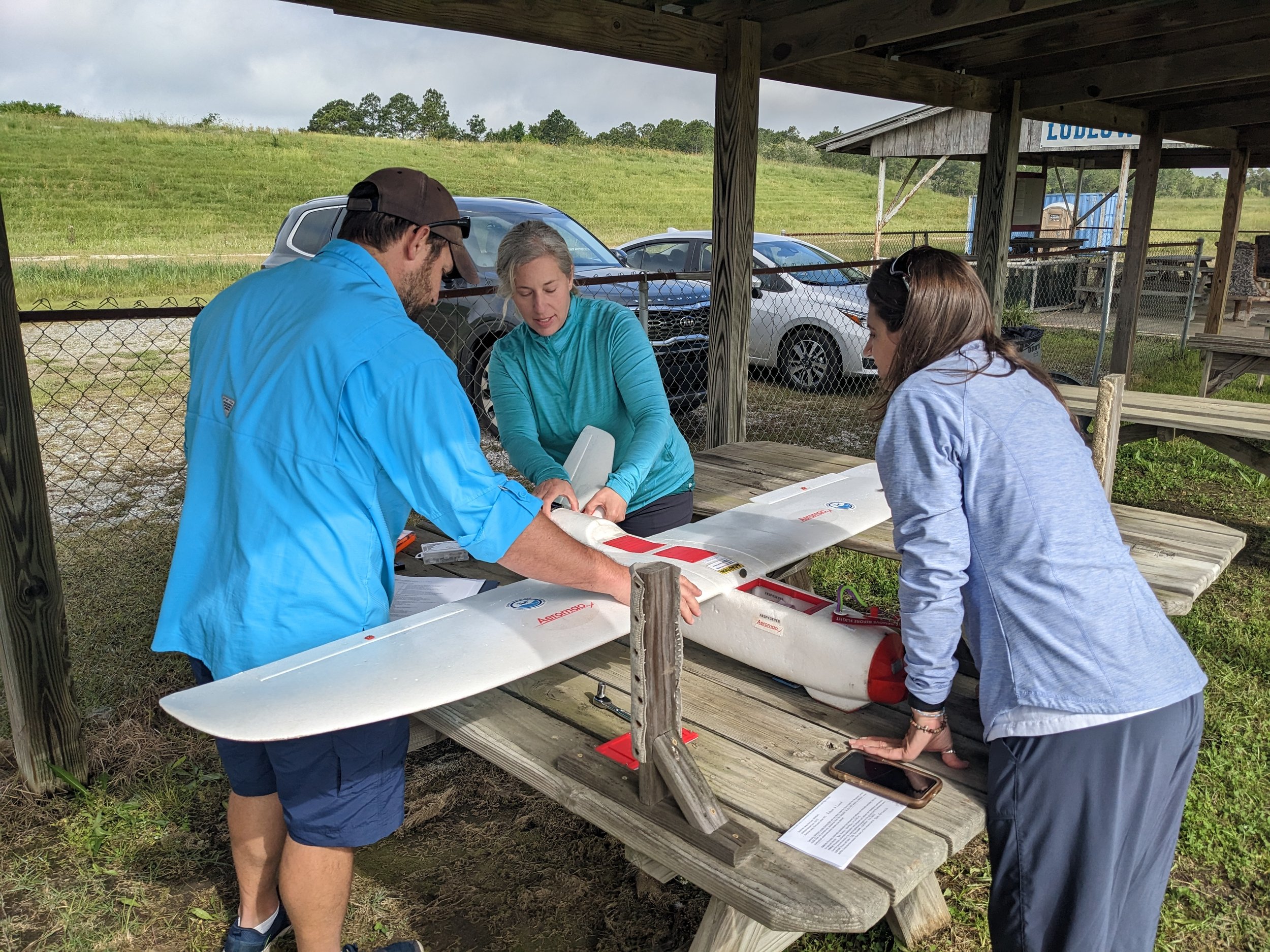
✔︎ On-site training with classroom, field, and lab modules to cover the A thru Z of legal, drone operations, flight control, getting accurate results, and post-processing.
✔︎ Custom recommendations for HW, SW and workflows.
✔︎ Proven workflow documentation to give you a step-by-step guide to success.

What Our Partners Say
Applications
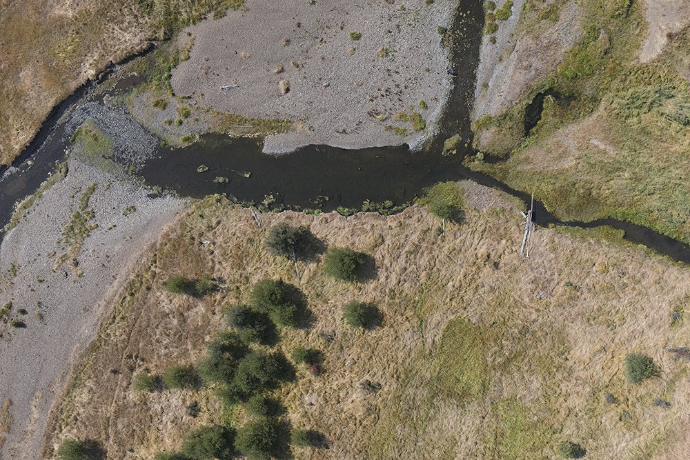
See our comprehensive list of applications for aerial imagery and GIS analysis.
-
If you want to add aerial imagery to your suite of tools, or make good use of the drone in the closet, we can help expedite your adoption and get you flying.
-
We have years of experience with various airframes, payloads, and post-processing flows and we're here to help you apply aerial imagery to your research or conservation goals.
-
If you're a conservation or research organization looking to expand your remote sensing capabilities, we can help. Contact us for more info.
FAQs
-
Absolutely! You’re not alone. Lots of organizations bought, or were given a drone by a generous donor, but aren’t sure how to get started. We have experience with many makes and models and can help you get it into the air and working as a tool for conservation!
-
Yes! Well, maybe. It depends on what kind of drone you have. Send us an email with the make and model, and we can likely help you get more out of your asset.
-
Whichever platform is going to solve your problem. We have years of experience with lots of makes and models, from quad-copters to fixed-wings, we can tailor a curriculum specifically to your needs.
-
Whichever software is going to solve your problem. We have years of experience with lots of software suites, from Agisoft Metashape, to Pix4D, to ESRI drone2map, to Map Pilot Pro, and others. We don’t partner with any software vendors, so we offer impartial recommendations and training to provide the best solution for your needs.
-
There are MANY drone courses online, and these can be great, especially for preparing for a Part 107 certification test. But when it comes to developing a workflow for your specific needs, sorting through the many software offerings and marketing hype online is a huge effort. We’ve been there and done that and can provide proven workflows and methods to save you time and money to get you flying and functional ASAP.
-
We have specific sites we like to use in and near Portland, and Sacramento, but we can conduct training just about anywhere. We come to you and take care of all the logistics of arranging a suitable training field. Sometimes we can even incorporate one of your project sites as a training location to “feed two birds with one scone” - you learn, and gather meaningful data at the same time!
Other Services
Interested in building drone capacity in-house?
Stay informed with the latest updates! Learn how Foresight Drones is collaborating with local organizations to positively influence the Pacific Northwest ecology.


