Aerial Photography and Video
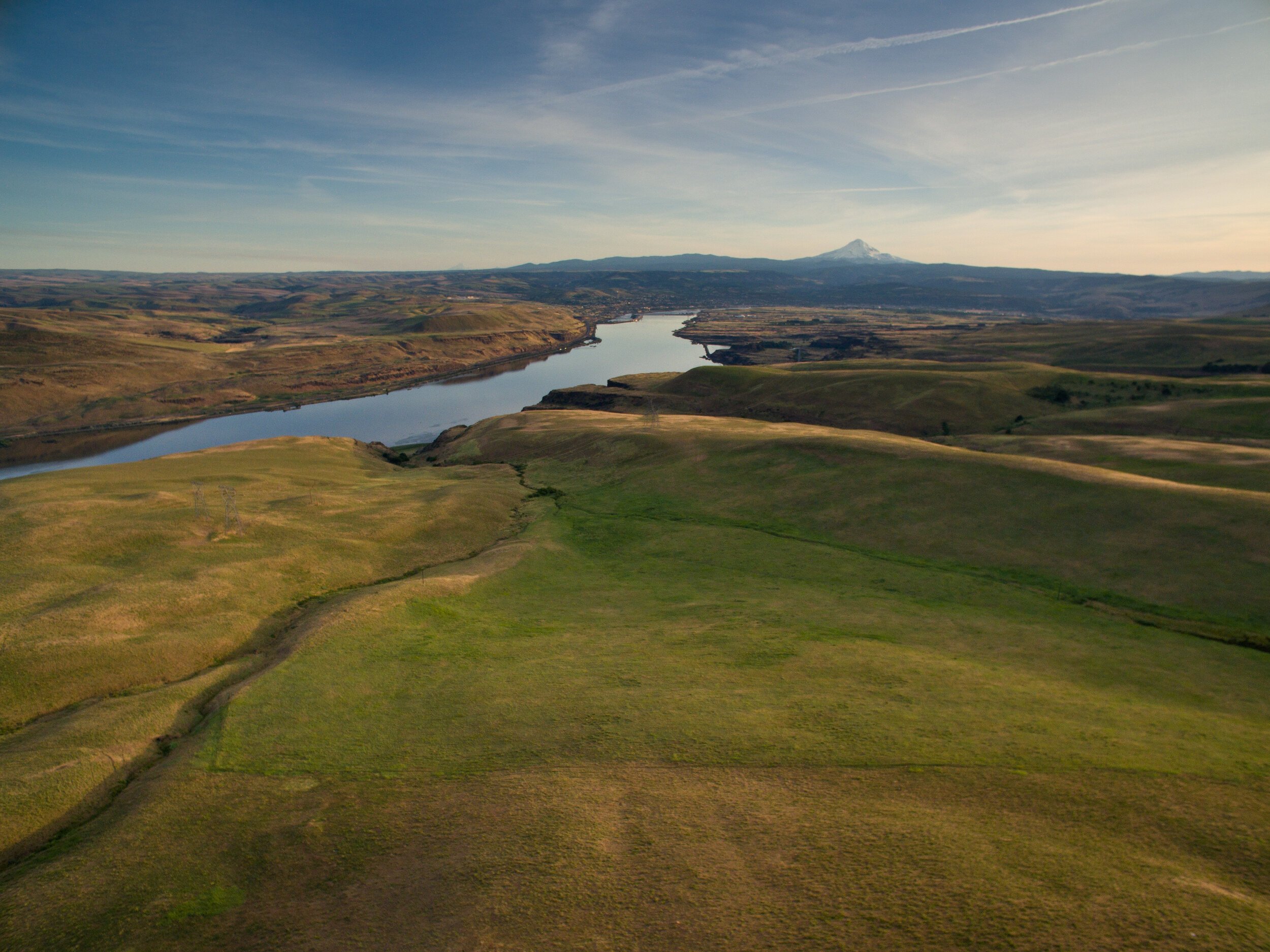
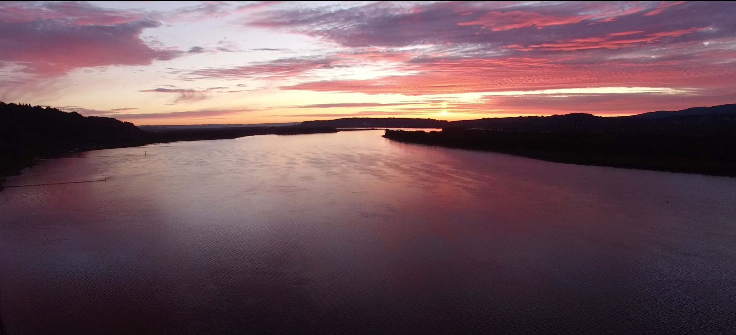
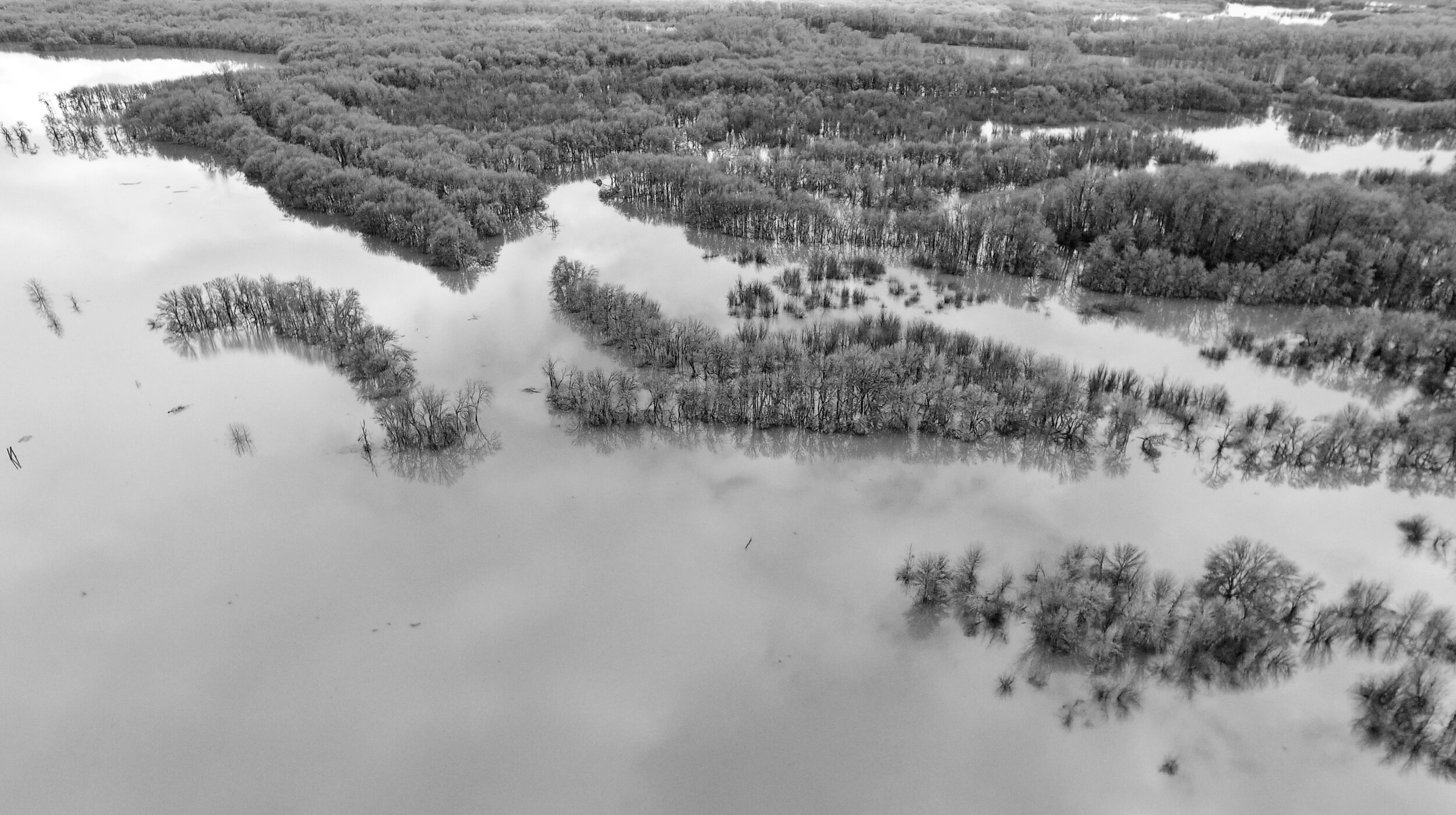
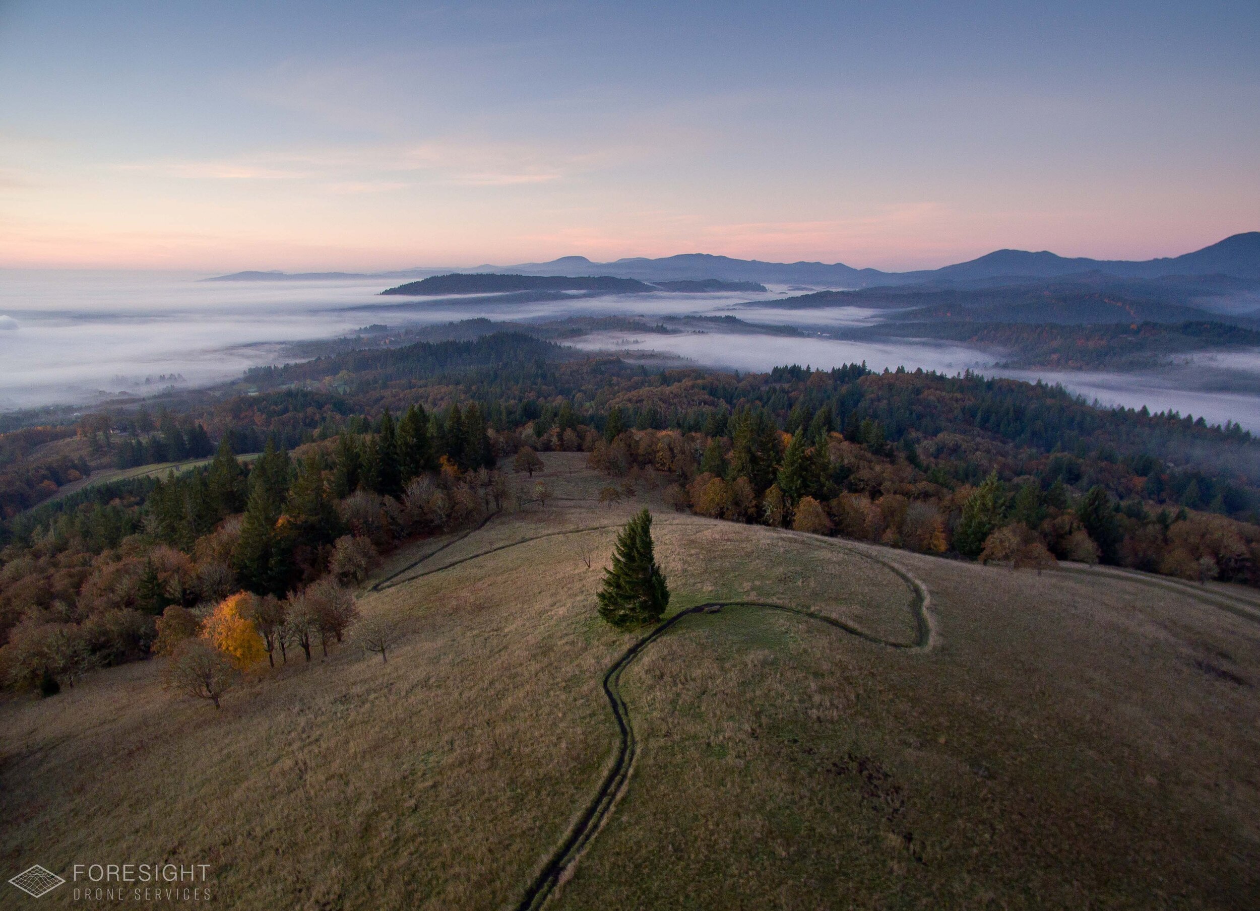
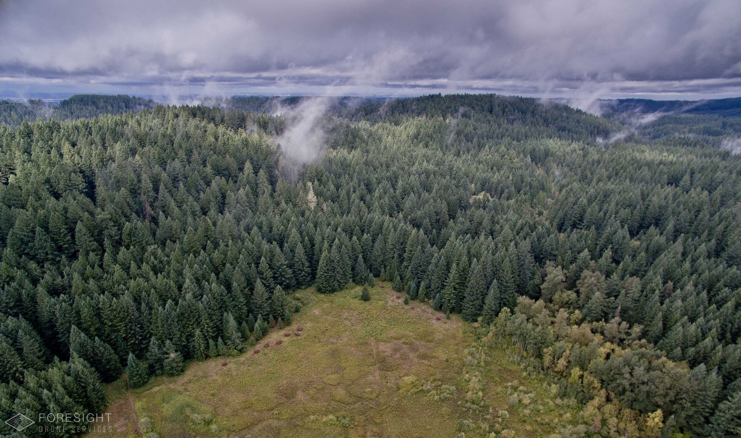
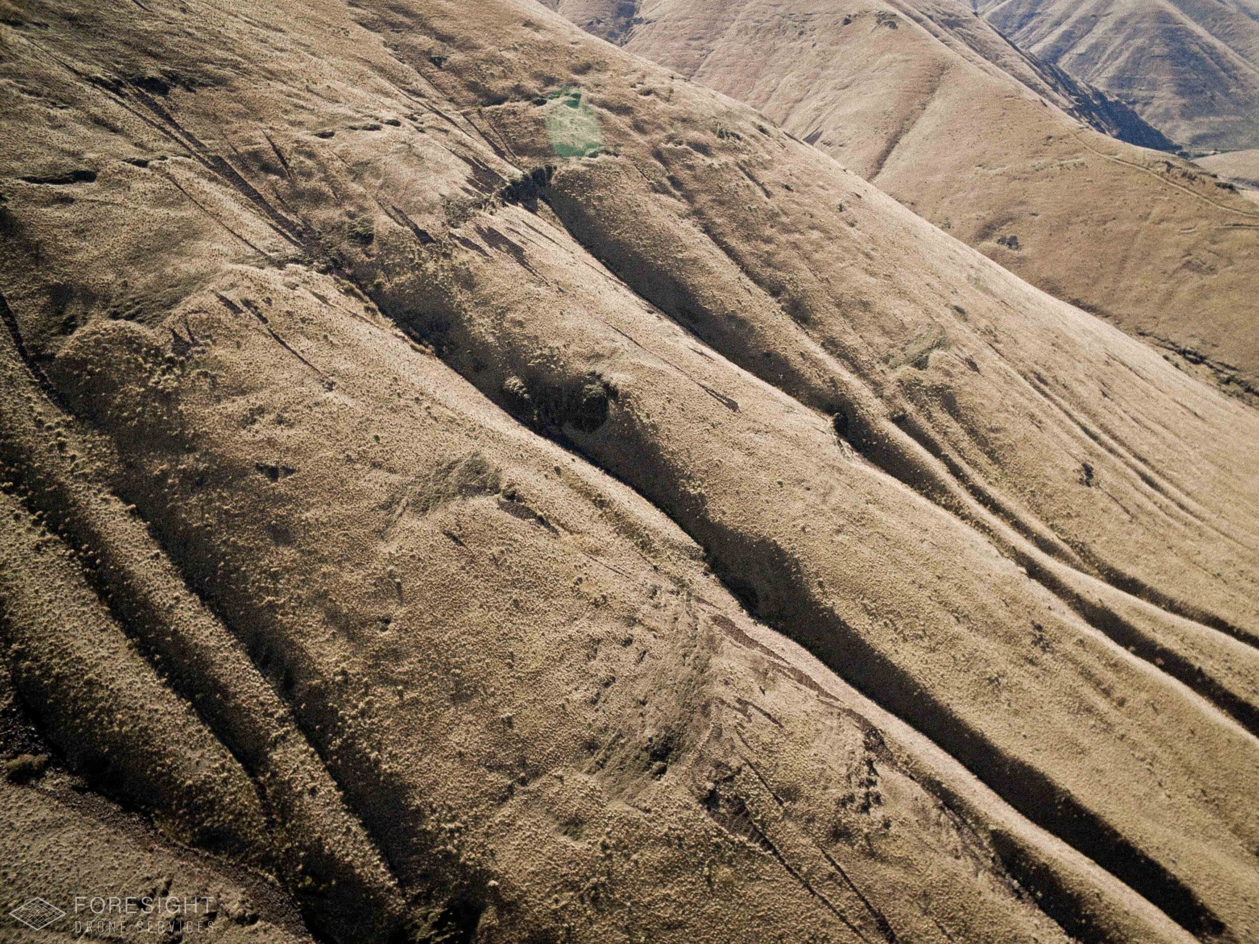
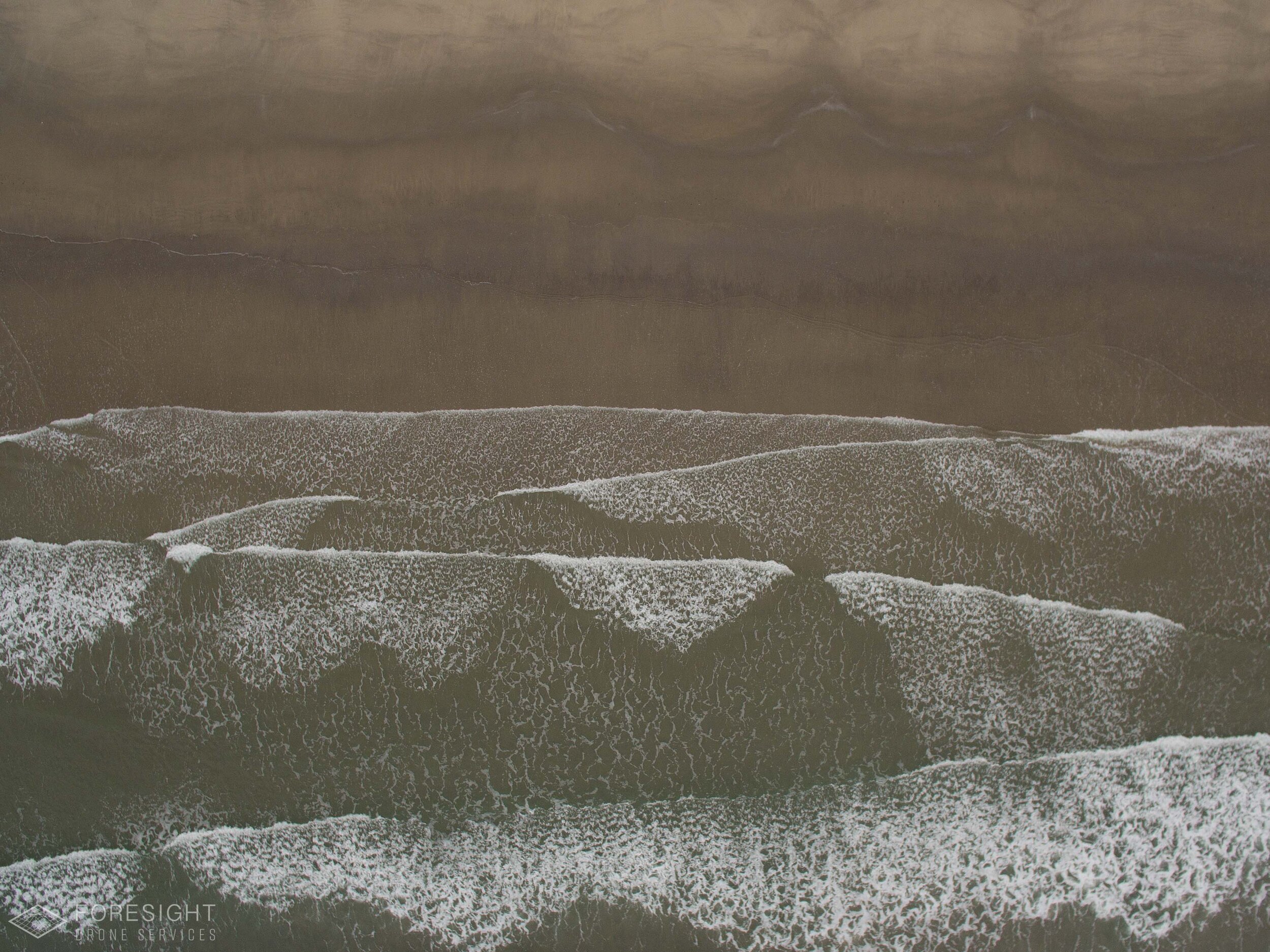
Tell the story of your work with eye-catching visuals from above. When working on the landscape scale, there’s no better way to showcase your work than with drone photography and videography.
Engage your supporters with insightful aerial views
Seamlessly bridge the gap between your site's physical accessibility and your supporters and partners. Utilizing state-of-the-art 'Structure from Motion' processing, we transform your site into a lifelike digital 3D replica.
Deliverables
✔︎ You get a set of color corrected jpg or RAW images and/or color-corrected video clips in .mp4 or .mov format.
What Our Partners Say
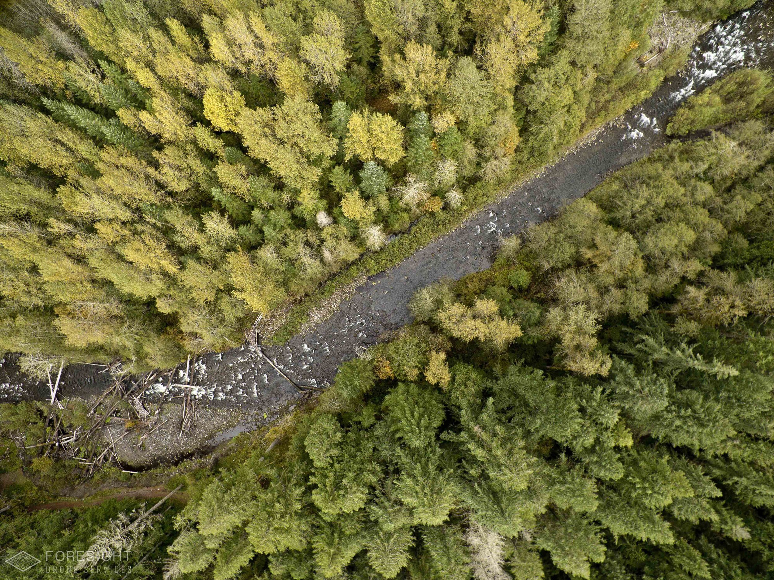

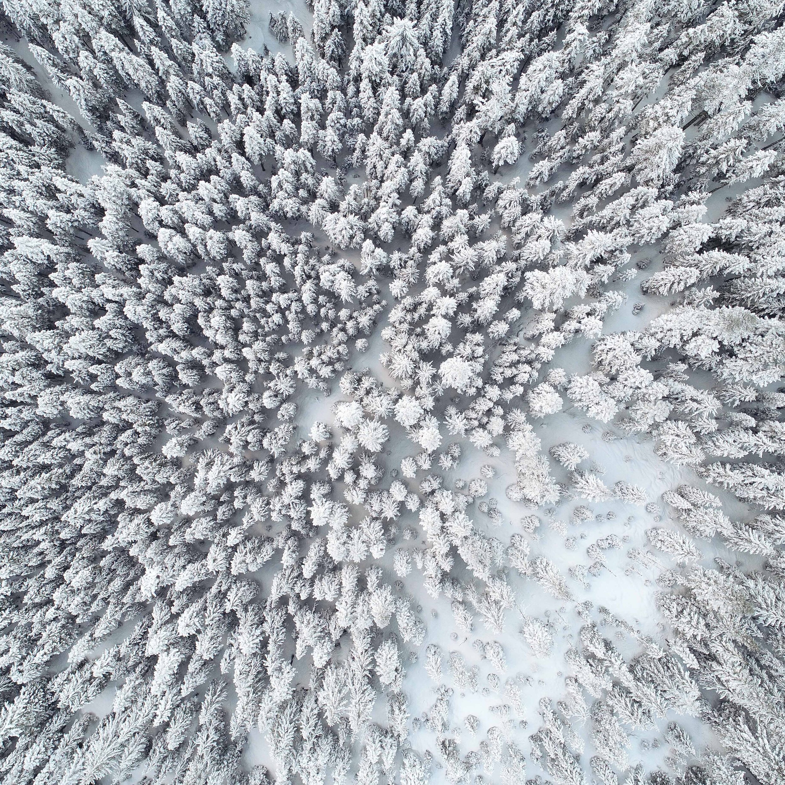
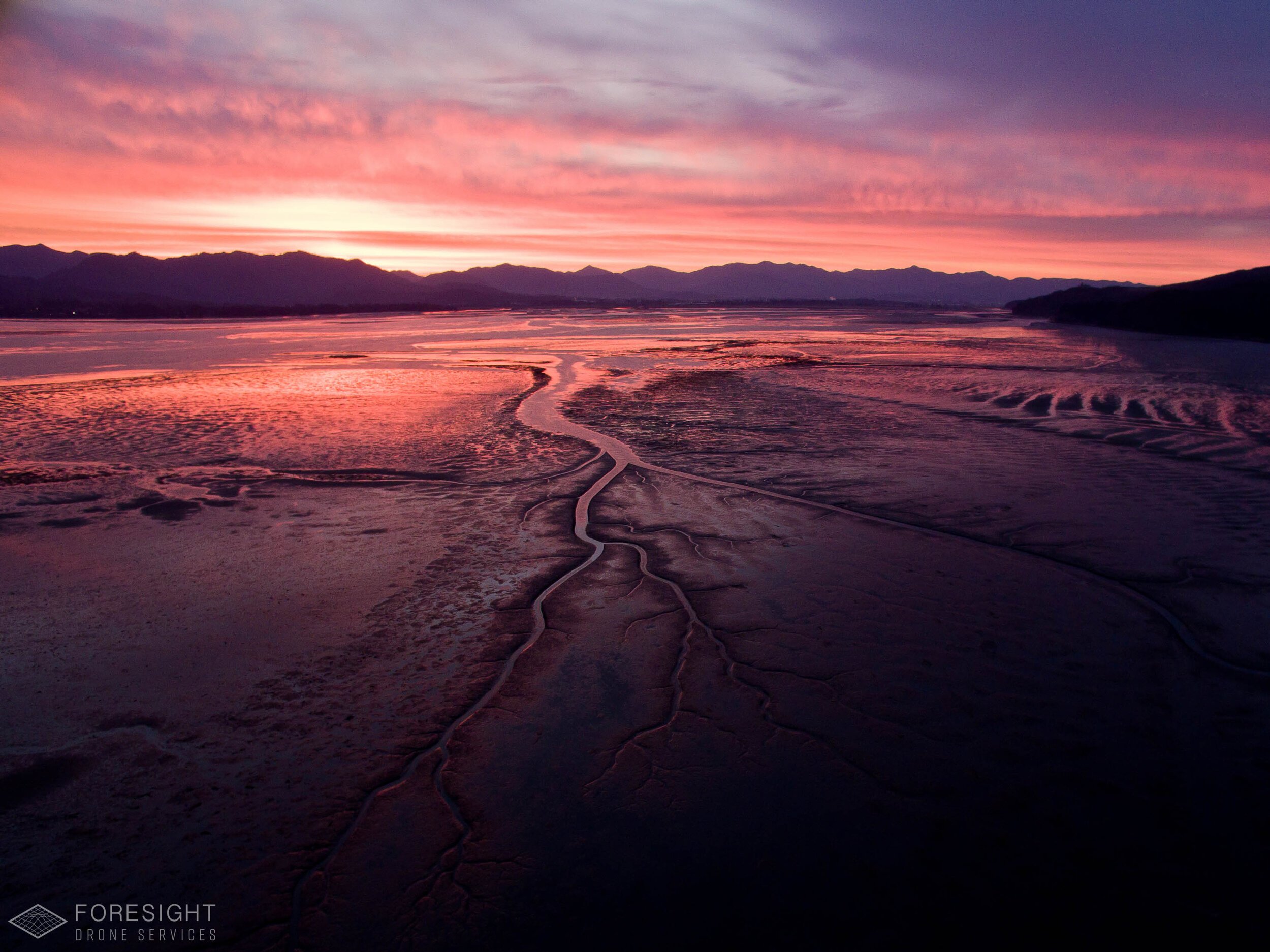
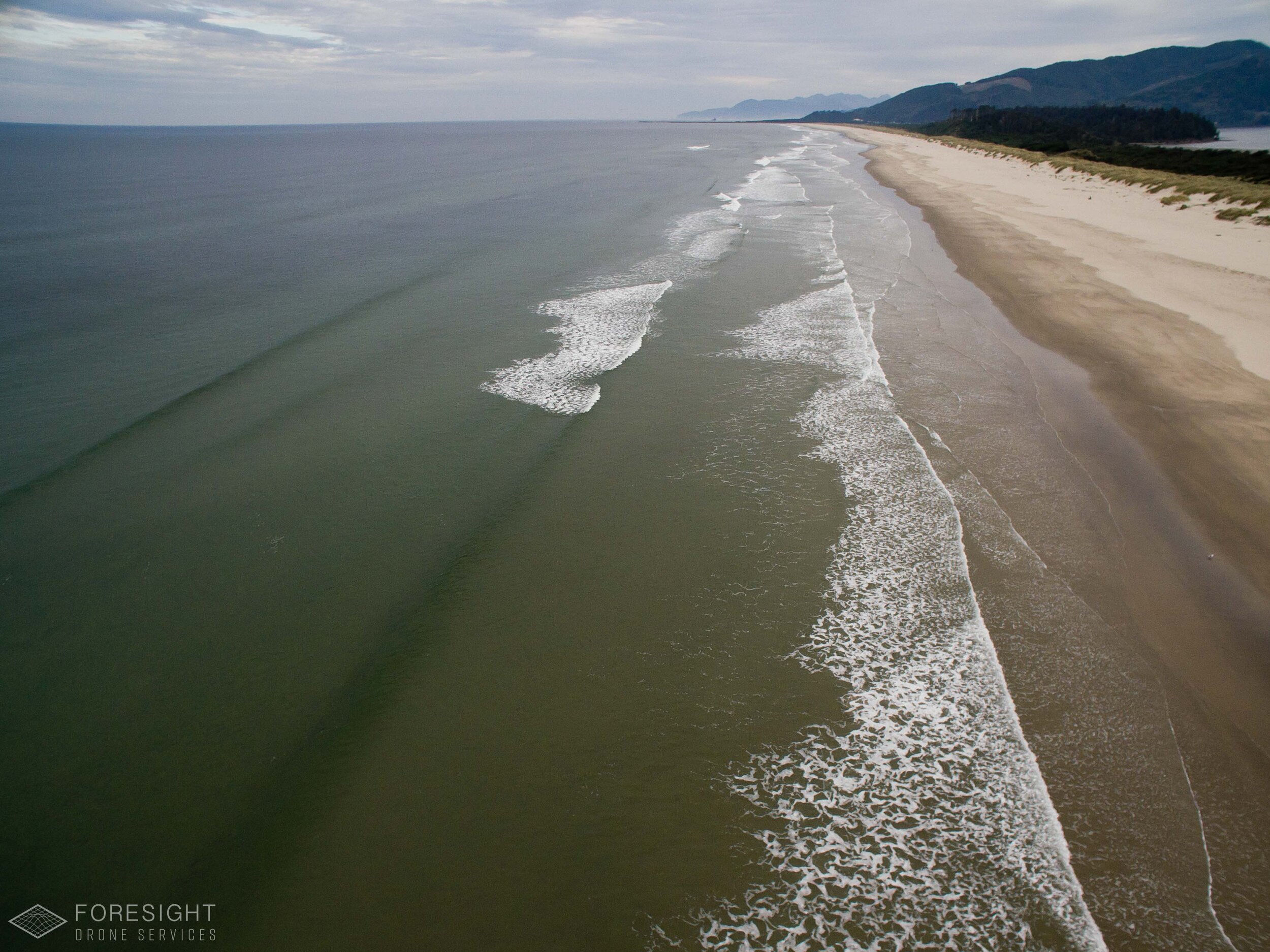
Our Work Process
1
Planning
We partner with you to understand the key components of your site, your work, and your message. We handle all FAA authorizations, planning for hazards, and logistics of flight operations.
2
Pre-Production
Select the right drone and camera system for the job to meet your quality expectations and budget.
3
Field Operations
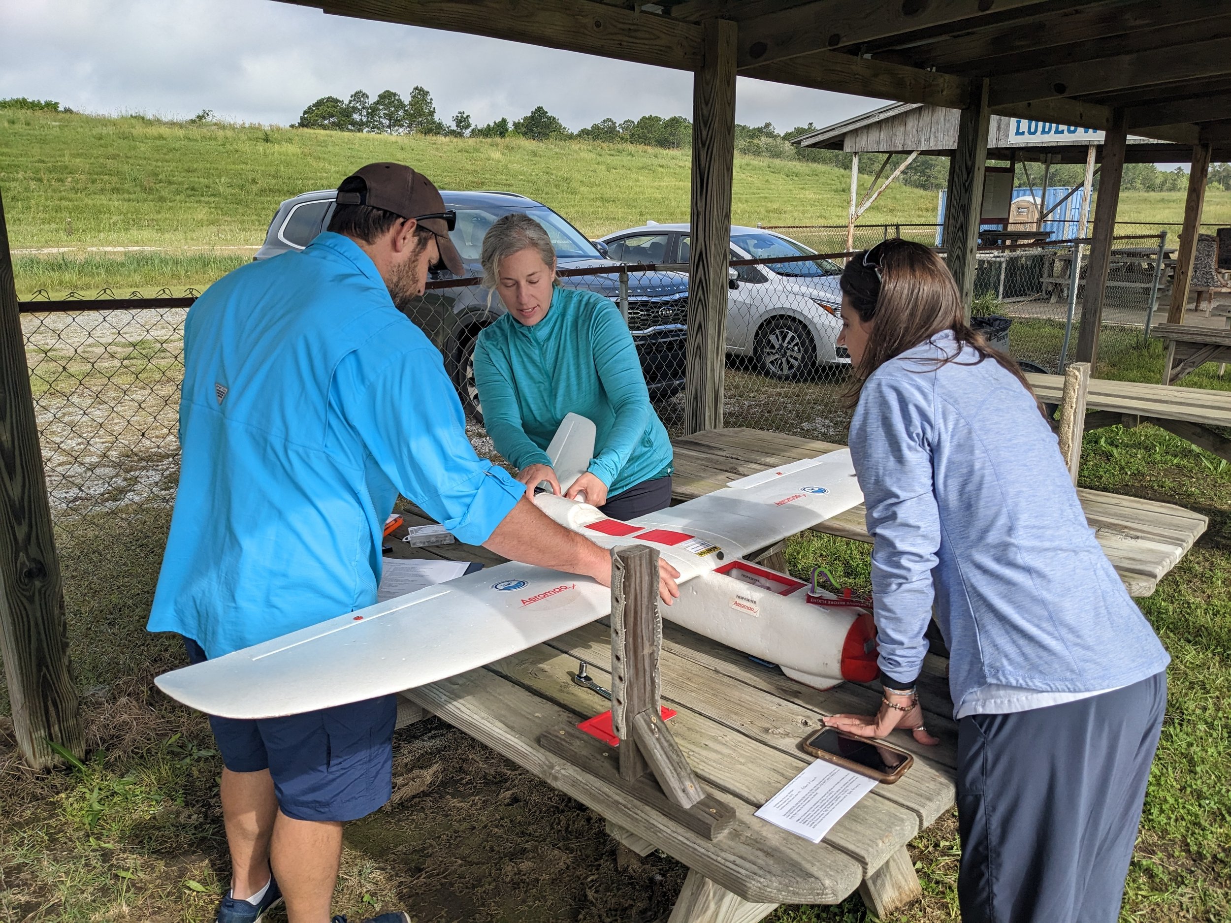
Our team of FAA Part 107 certified pilots will come to your site to capture the images and video clips
4
Post-Production
We use professional photography and videography editing software to color-correct the images to provide the most compelling visuals of your site.
Applications
See our comprehensive list of applications for aerial imagery.
-
Engage your supporters with the aerial perspective.
-
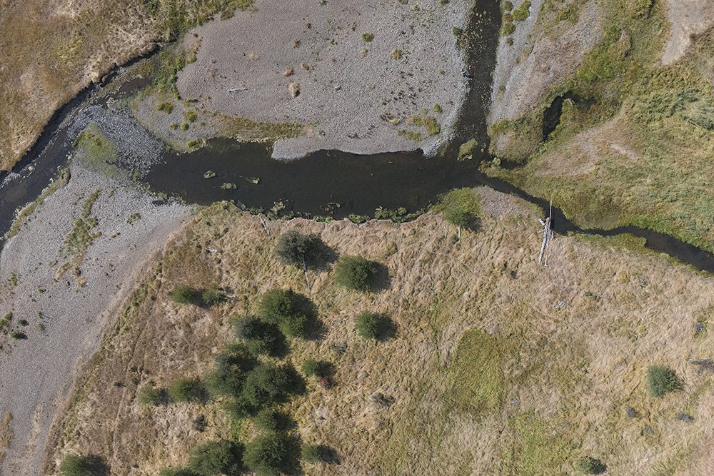
Aerial photography is a great way to capture changes on a landscape scale for reporting to grantors and stakeholders.
-
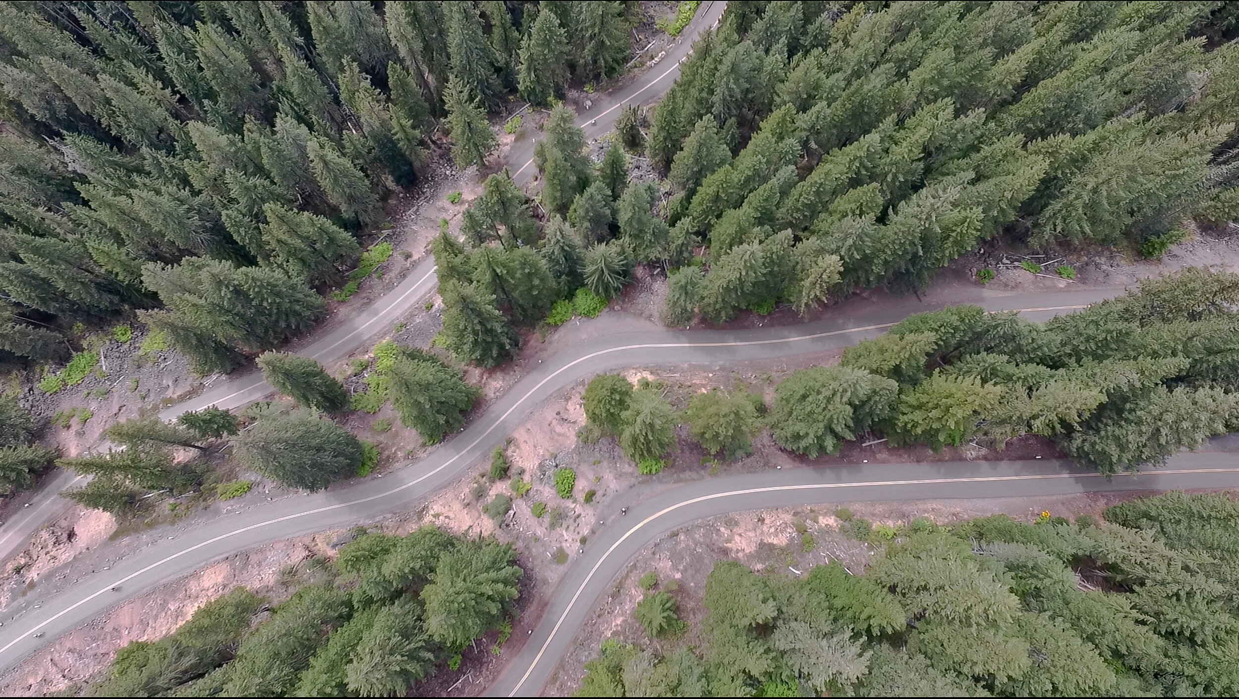
Show your site’s best angles. Sometimes the birds-eye perspective is the only way to tell the story of place, and your impact.
FAQs
-
Drone photography allows for more flexibility in angles, elevations, and maneuverability compared to traditional methods like helicopter or airplane shots.
Often referred to as "Unmanned Aerial Vehicles" (UAVs) or "Unmanned Aircraft Systems" (UAS), drones are invaluable for conservation, science, and research endeavors. They provide access to challenging locations, granting unique and diverse photographic opportunities.
-
Aerial photography and videography can offer a number of benefits, including:
A unique and elevated perspective that is not possible with traditional ground-based photography and videography.
The ability to capture entire landscapes in a single shot.
The ability to inspect areas that are difficult or dangerous to reach on the ground.
The ability to create more engaging marketing materials.
-
Absolutely. Drones are subject to a number of regulations. Foresight Drone Services is fully licensed and insured, and our pilots have the necessary permits to fly drones in all areas where we operate.
-
We deploy state-of-the-art Unmanned Aircraft Systems with high-resolution cameras to ensure superior image and video quality. Our equipment is routinely serviced and updated to match technological advancements.
-
Pricing can differ based on the project's scope, duration, and unique requirements. We'll be happy to provide a custom quote once we understand your needs.
-
The amount of time it takes to complete an aerial photography or videography project depends on the size and complexity of the project. Contact us, and we’ll work with you to develop a timeline that meets your needs.
-
Once the UAS session concludes, clients typically receive their edited images and videos within 1-10 business days. However, timelines can vary based on the project's complexity and specific needs.
-
Yes! Our aerial footage is suitable for a range of commercial applications, from advertisements, marketing materials, website usage, and more. We can license the imagery to you for a wide range of uses, or can do “work for hire” in which the client owns the copyright.
Other Services
Interested in aerial photography and video?
Stay informed with the latest updates! Learn how Foresight Drones is collaborating with local organizations to positively influence the Pacific Northwest ecology.

