
Our Work
We're deeply rooted in the heart of the Pacific Northwest and have collaborated with dedicated organizations across the west, using our expertise in drone technology and aerial data to create tangible impact. Our previous projects stand as a testament to our dedication, highlighting how aerial imagery and analysis elevate conservation efforts.
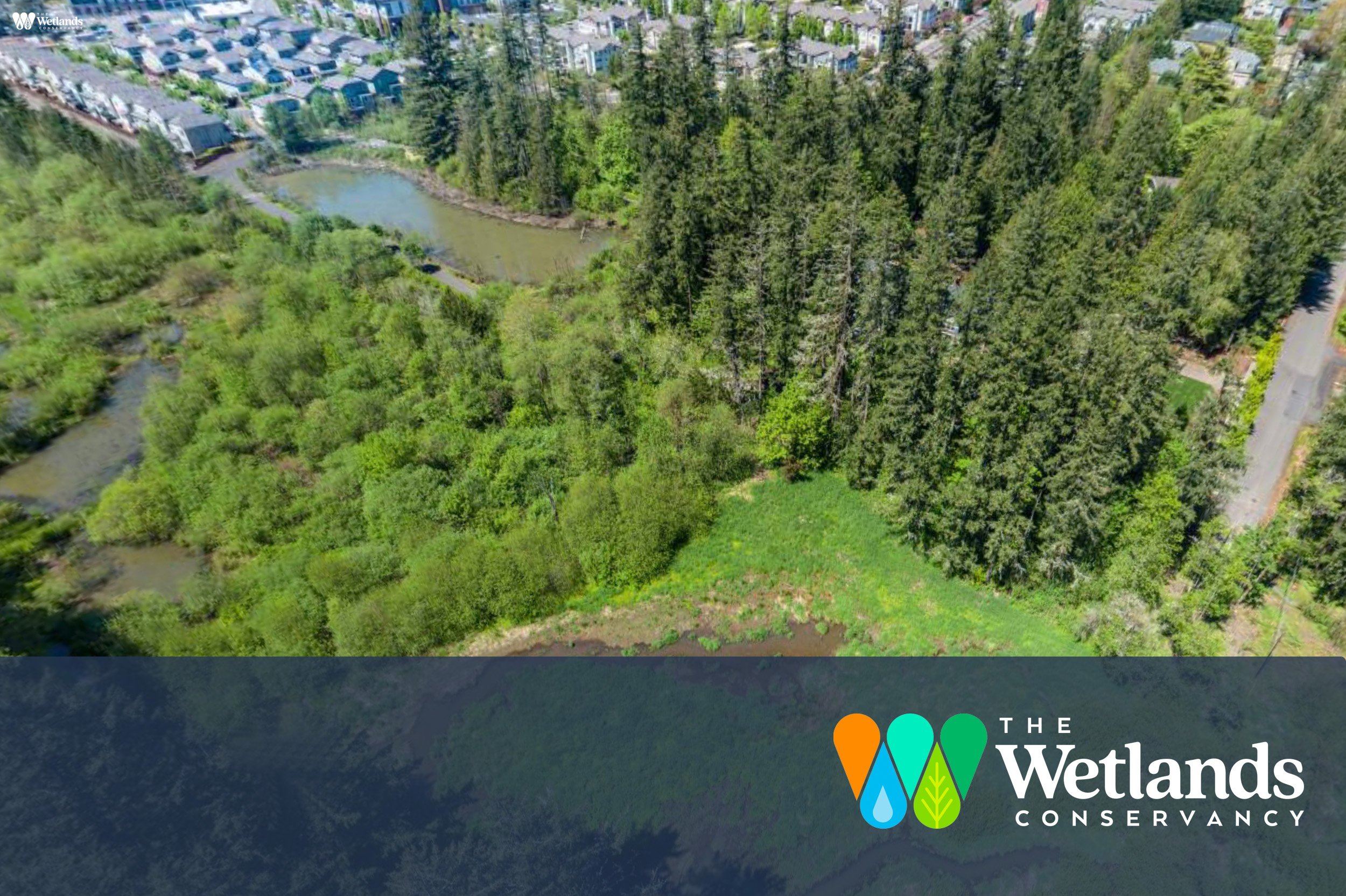
Cedar Mills Wetland Virtual Tour
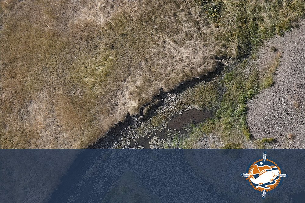
Salmon Habitat Assessment on the Grande Ronde River
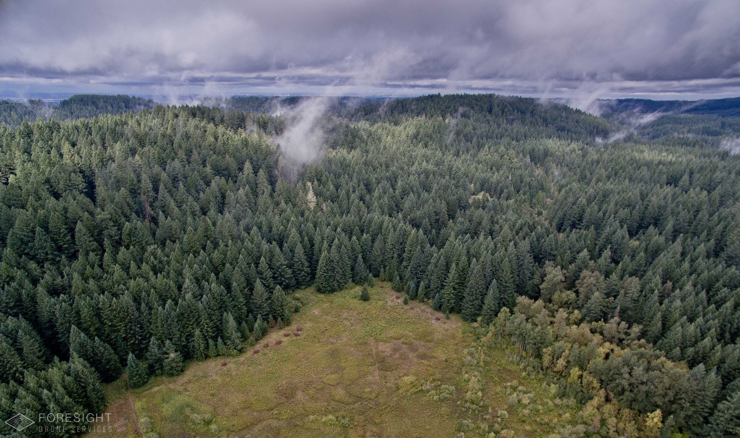
Coast Range Forestry Landslide Impact Assessment
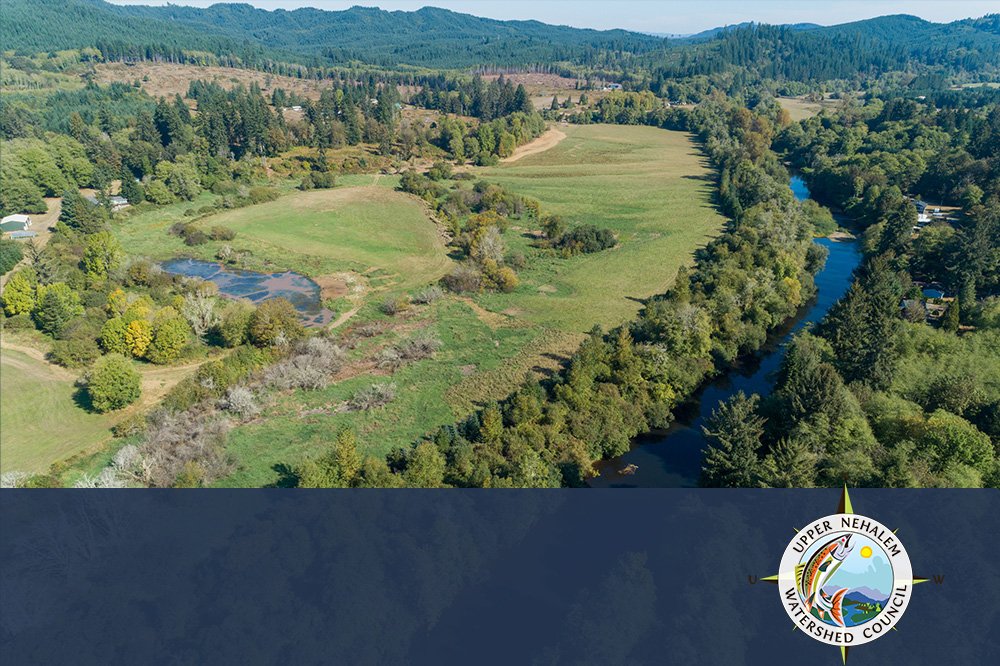
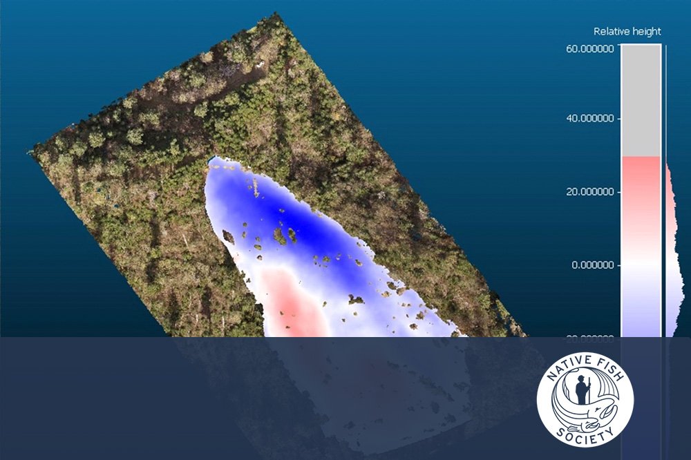
Restoration Monitoring of Off-channel Habitat Improvement on the Nehalem River
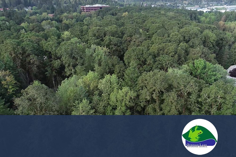
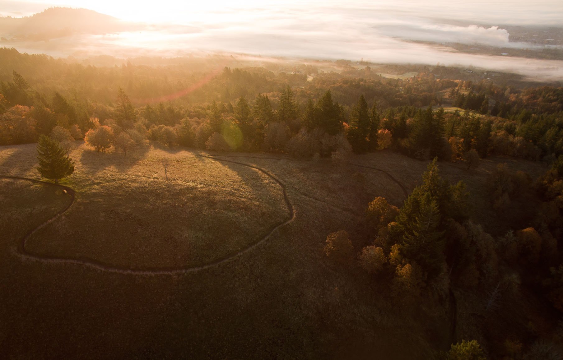
Urban Forestry Oak Release Monitoring in the Willamette Valley
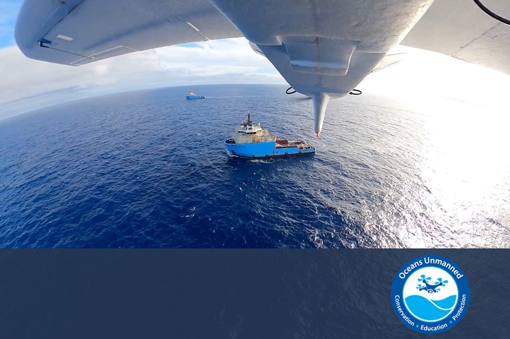
Marine Debris Research at the Great Pacific Garbage Patch
Our Clients


We provide imagery when it matters the most:
High Water
Peak Greenness
Leaf Off
Peak Flowering
Post Burn
We work for you, the conservation champions:
Land Trusts
Watershed Councils
SWCDs
Non-profits
Contact us about free grant-writing support
Stay informed with the latest updates! Learn how Foresight Drones is collaborating with local organizations to positively influence the Pacific Northwest ecology.