Our Services
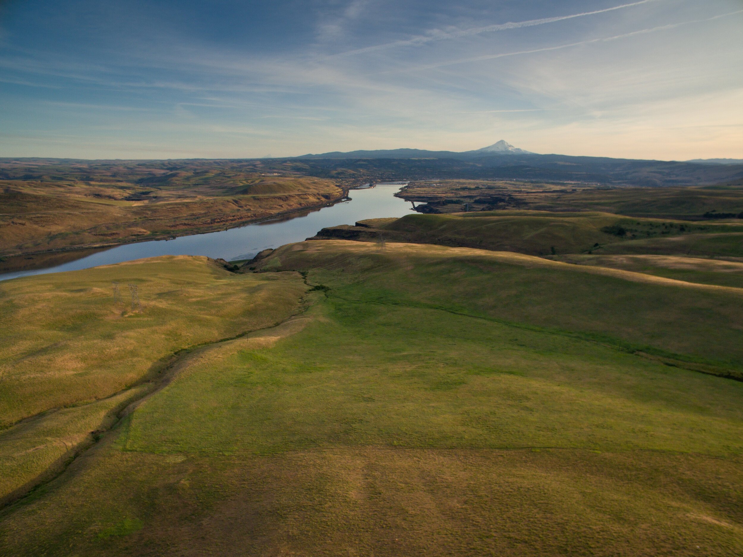
We provide end-to-end aerial imaging solutions tailored for conservation organizations, non-profits, and scientific projects. Specializing in habitat assessment, ecological change monitoring, and stakeholder communication enhancement, our services offer precision and insight to support the efforts of purpose-driven organizations
Give your audience an experience. Engage the next generation of followers
Tell the story of seasonal and restoration changes on a landscape scale with GPS-guided repeat imagery.
Measure and monitor better with a high-res photo map of your site. Chronicle your site and measure changes over time.
Tell the story of your work with rich and eye-catching visuals from above
Wow stakeholders with guided virtual tours of your site in 3D. Engage the next generation of supporters.
Turn raw aerial data into actionable insights. Answer research questions and report to stakeholders.
Analyze your site in three dimensions for better science and stewardship.
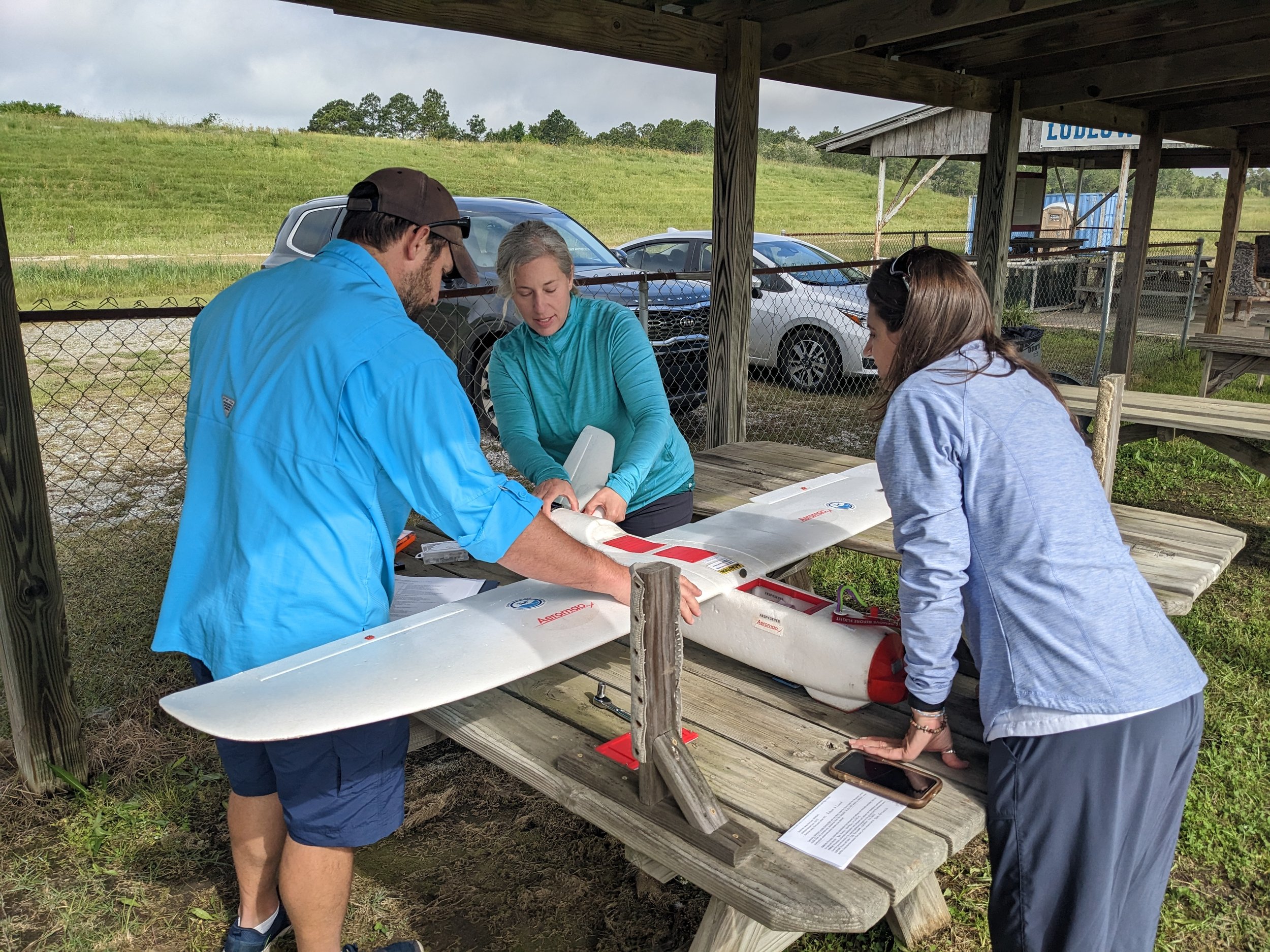
Build drone capacity in-house. We develop custom curricula tailored to your organization and team needs.
Contact us about free grant-writing support
Stay informed with the latest updates! Learn how Foresight Drones is collaborating with local organizations to positively influence the Pacific Northwest ecology.


