ELEVATE YOUR IMPACT
Data-driven insights and impactful visual experiences that elevate science, stewardship, and storytelling.
We partner with organizations across the West to bring positive impacts to diverse ecosystems.
Our mission is to bring actionable insights and better communications through aerial imagery and analysis to every conservation organization. These are tools for all land-managers, stewards, and researchers.
We Work With Conservation Champions
Elevate your impact.
Get the imagery and data you need. ForeSight Drone Services has a proven system and workflow for aerial mapping and technical imaging. Bypass the hassle of drone purchasing, software learning-curves, insurance, and time-intensive FAA licensing.
Our Services
Give your audience an experience. Engage the next generation of followers
Tell the story of seasonal and restoration changes on a landscape scale with GPS-guided repeat imagery.
Measure and monitor better with a high-res photo map of your site. Chronicle your site and measure changes over time.
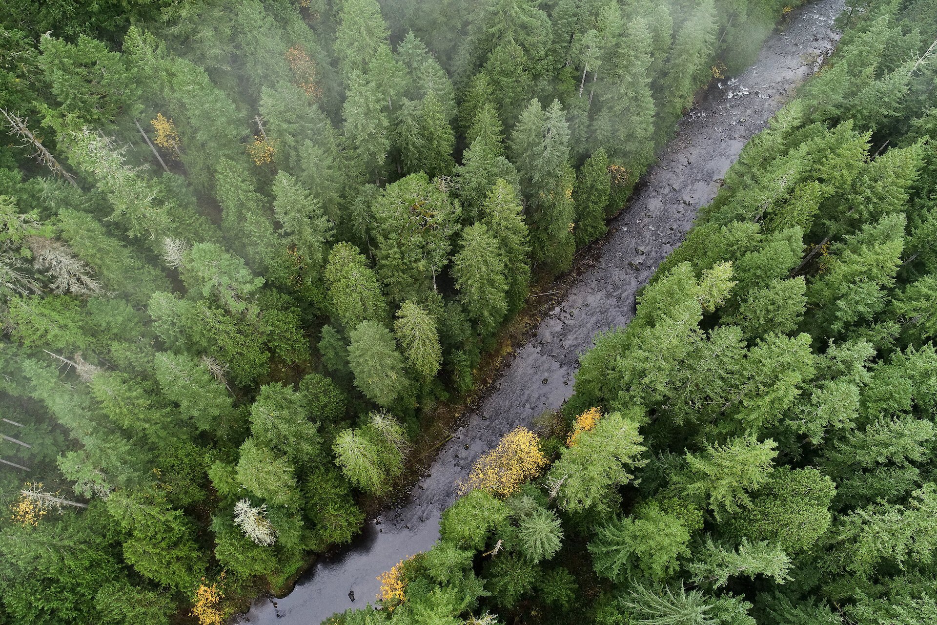
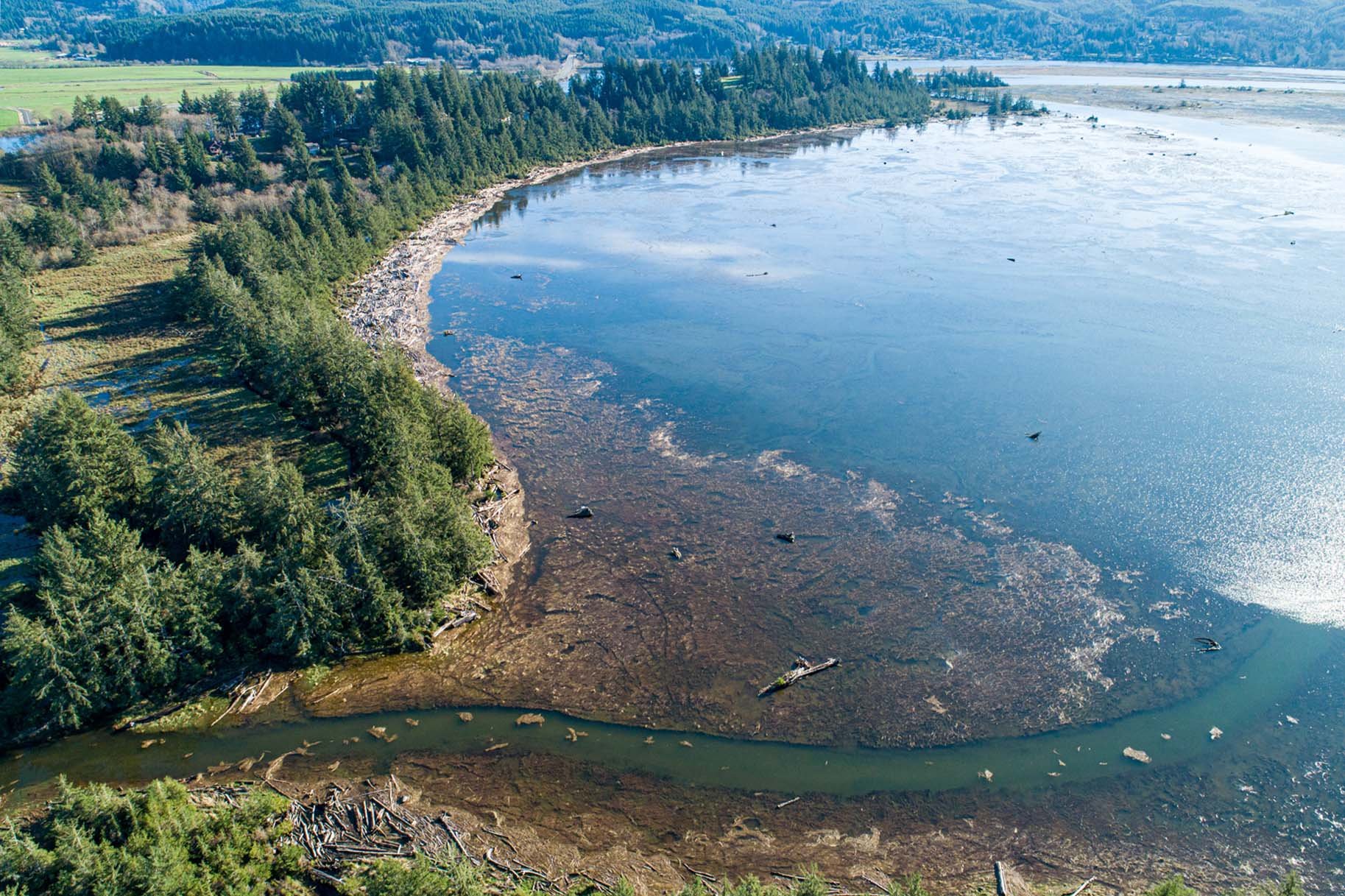
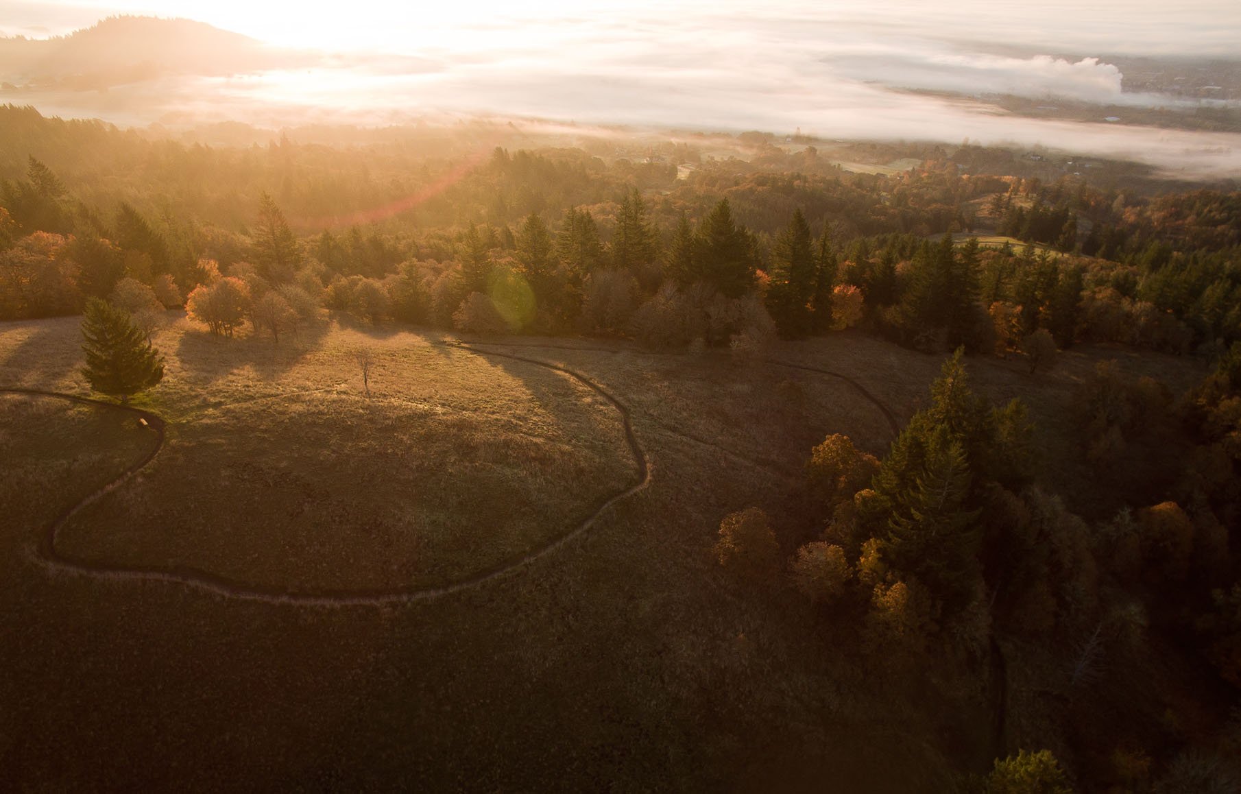
Tell the story of your work with rich and eye-catching visuals from above
Wow stakeholders with guided virtual tours of your site in 3D. Engage the next generation of supporters.
Turn raw aerial data into actionable insights. Answer research questions and report to stakeholders.
Analyze your site in three dimensions for better science and stewardship.
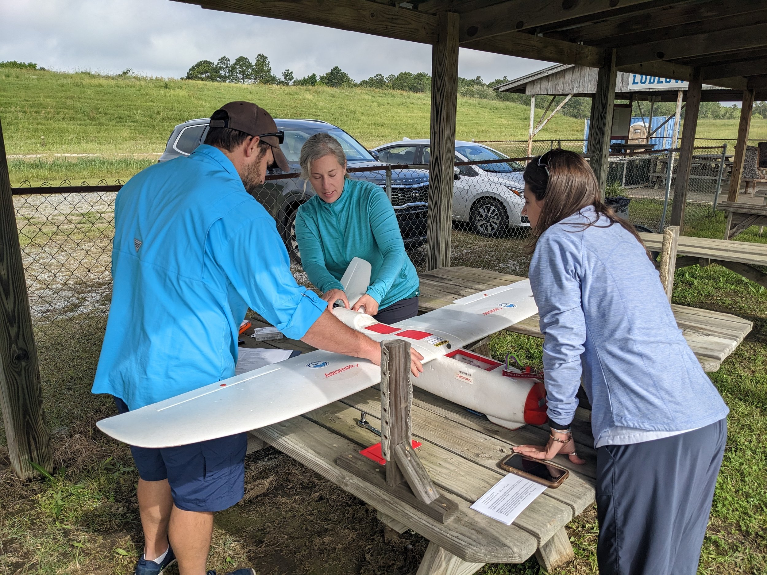
Build drone capacity in-house. We develop custom curricula tailored to your organization and team needs.
What Our Partners Say
Get all the benefits of aerial imagery
Aerial imagery offers unparalleled advantages. It enhances planning, allows for real-time progress tracking, and provides a clear view of results. It also presents a compelling way to showcase your work and easily detect changes over time.
Build drone capacity in-house
Equip your team with the knowledge and tools needed to harness drone technology's full potential, efficiently and cost-effectively. At ForeSight, we create a custom curriculum tailored to your team's specific needs, streamlining the learning process. We're here to simplify the complexities and empower you with robust internal drone capabilities.
Highlighting changes through repeat imagery
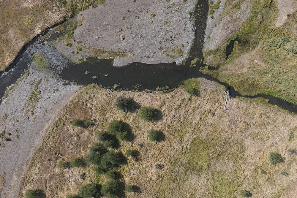
With GPS-guided and autonomous flights, we capture consistent, accurate data when it matters most. Peak greenness, low-water, post-fire, leaf-off, high-tide. Users can monitor, measure, and report on changes at the landscape scale.
Contact us about free grant-writing support
Stay informed with the latest updates! Learn how Foresight Drones is collaborating with local organizations to positively influence the Pacific Northwest ecology.


