Knowledge Hub
Stay updated with the latest industry insights, explore our featured projects, and delve into comprehensive case studies.

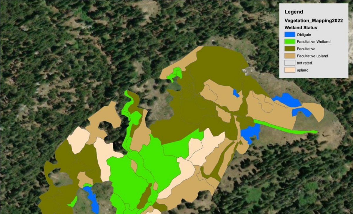
Meadow Restoration Monitoring with American Rivers
In July 2022, ForeSight Drone Services partnered with American Rivers (AR) to provide aerial mapping of three meadows in the Eldorado National Forest of California’s Sierra Nevada. This mapping will enable AR to quantify the benefits and effectiveness of the restoration activities, and clearly communicate the impact to all stakeholders.

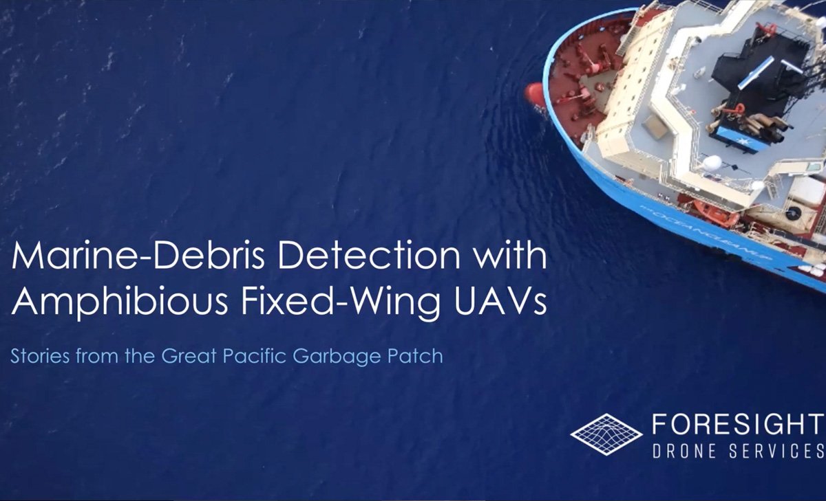
Presentation at Pacific Northwest Aquatic Monitoring Partnership Remote Sensing Forum
ForeSight was invited to speak at the 4th quarter meeting of the Remote Sensing Forum hosted by the Pacific Northwest Aquatic Monitoring Partnership. The topic of my talk was Marine Debris Detection Using Fixed-Wing Amphibious UAVs: Stories from the Great Pacific Garbage Patch.

Drones for Annual Monitoring: Best Practices
There’s a lot of momentum around the adoption of Remote Monitoring for satisfying land trust annual monitoring requirements as set out by The Land Trust Alliance.
LTA has rolled out a new grant program specifically for land trusts to experiment with new remote monitoring techniques, and drones fit nicely into a particular niche. It’s a new space for many, and I’ve gotten a number of questions, that I hope to answer here.
