Featured Project
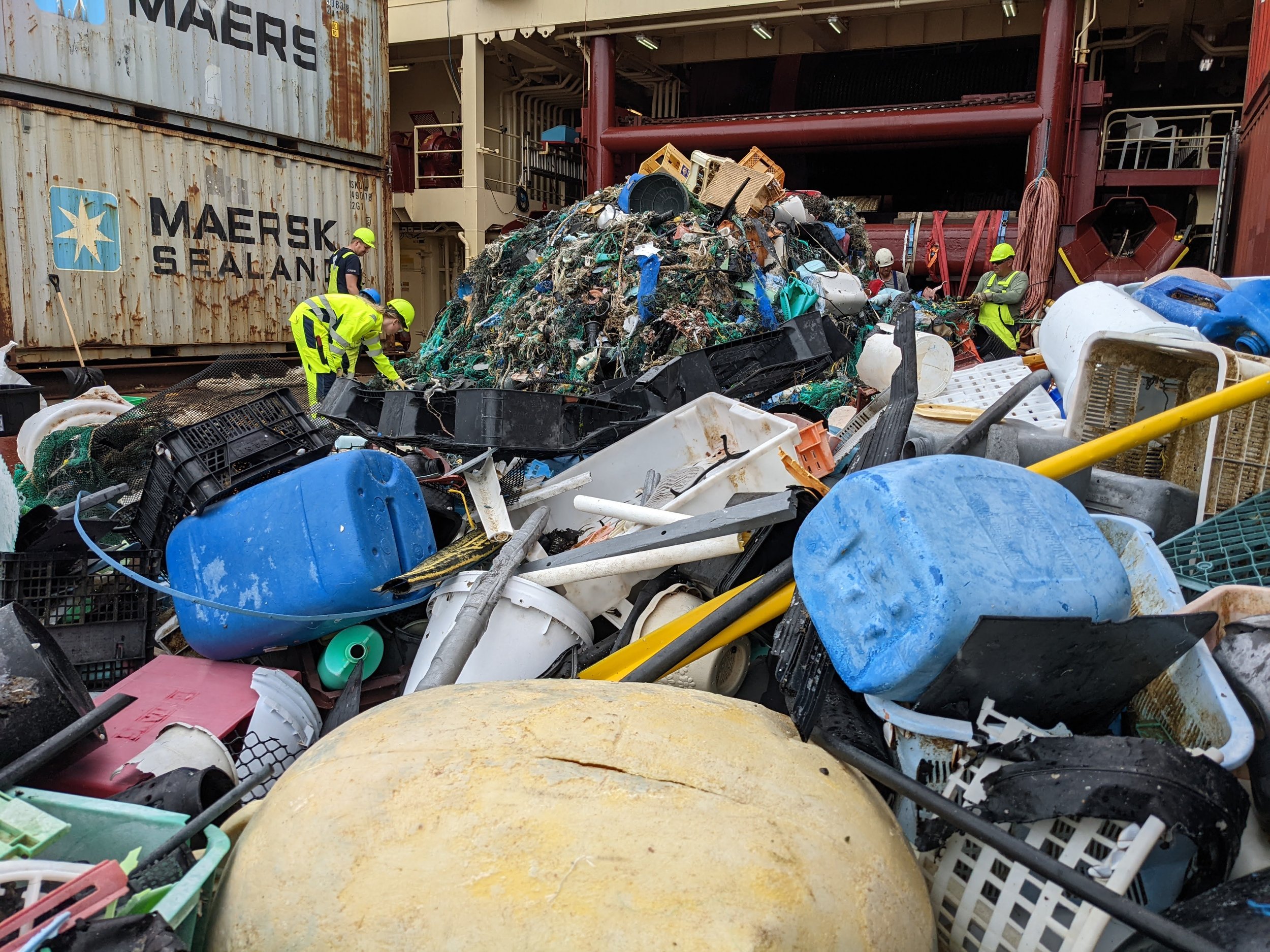
Marine Debris Research at the Great Pacific Garbage Patch
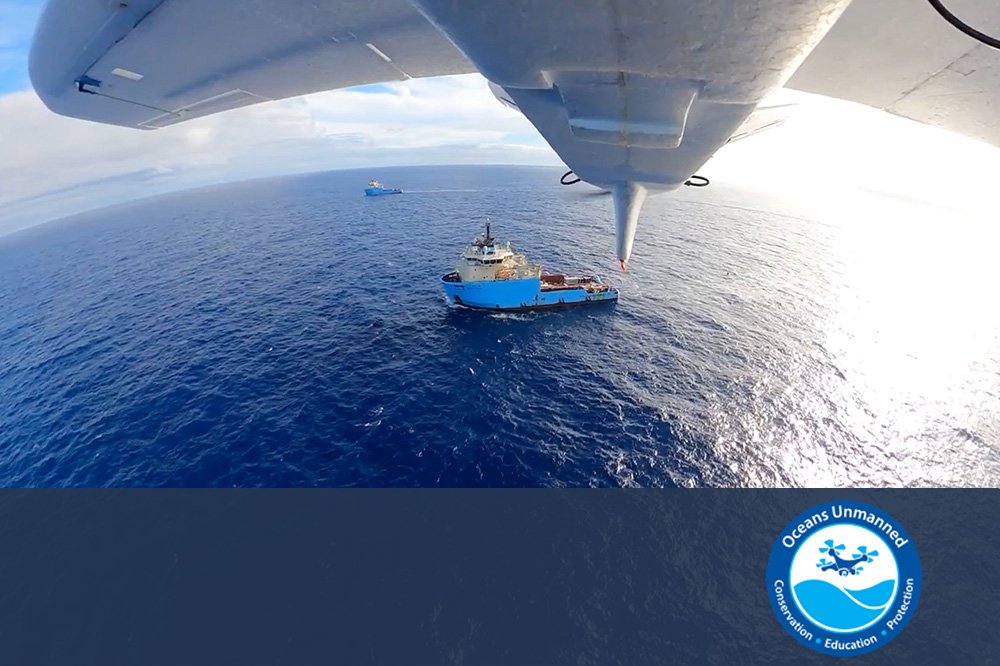
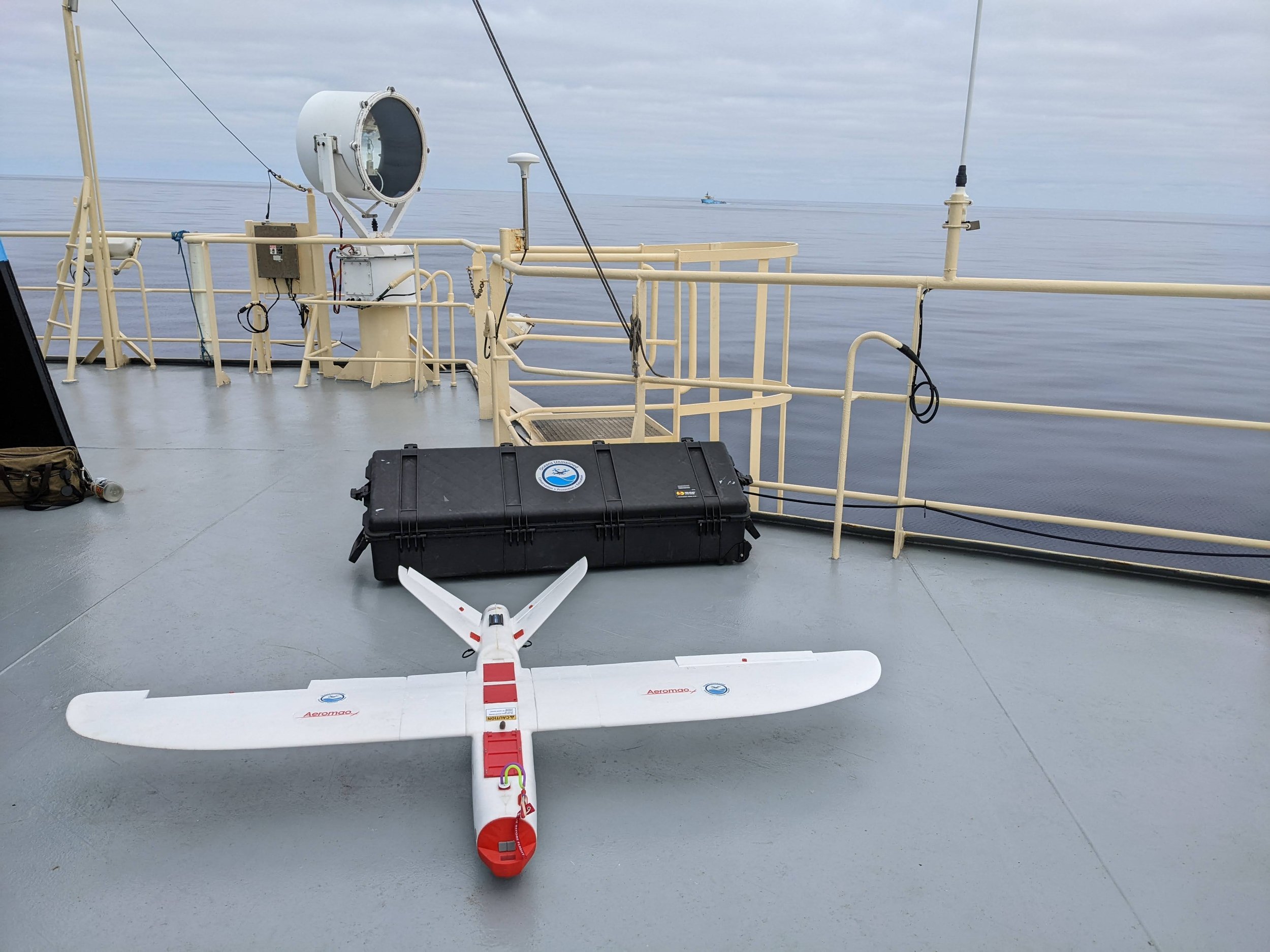
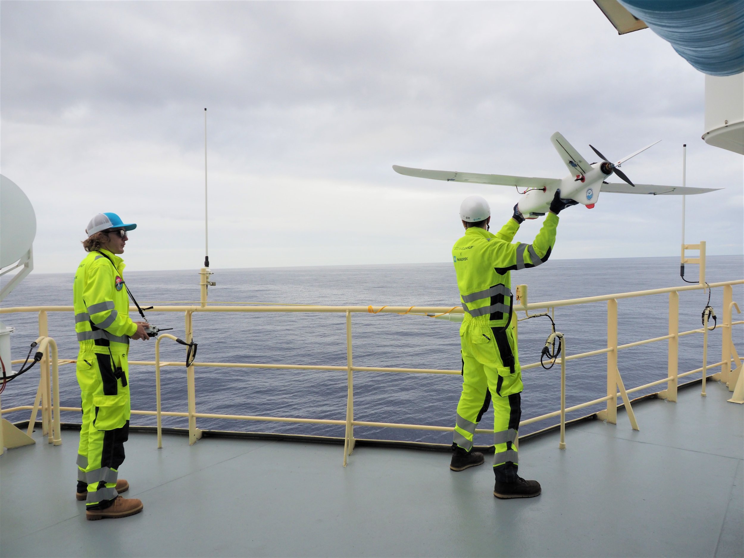
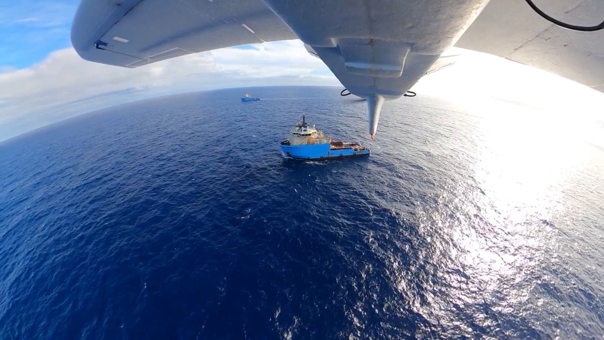
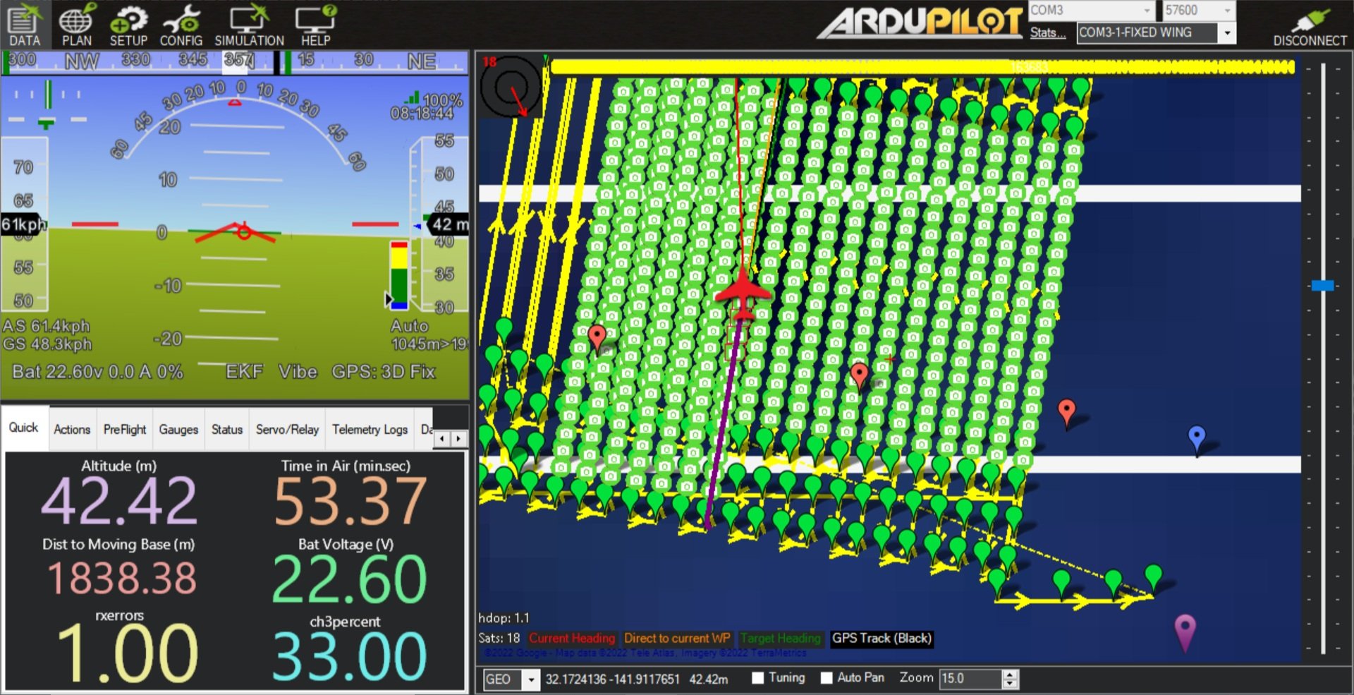
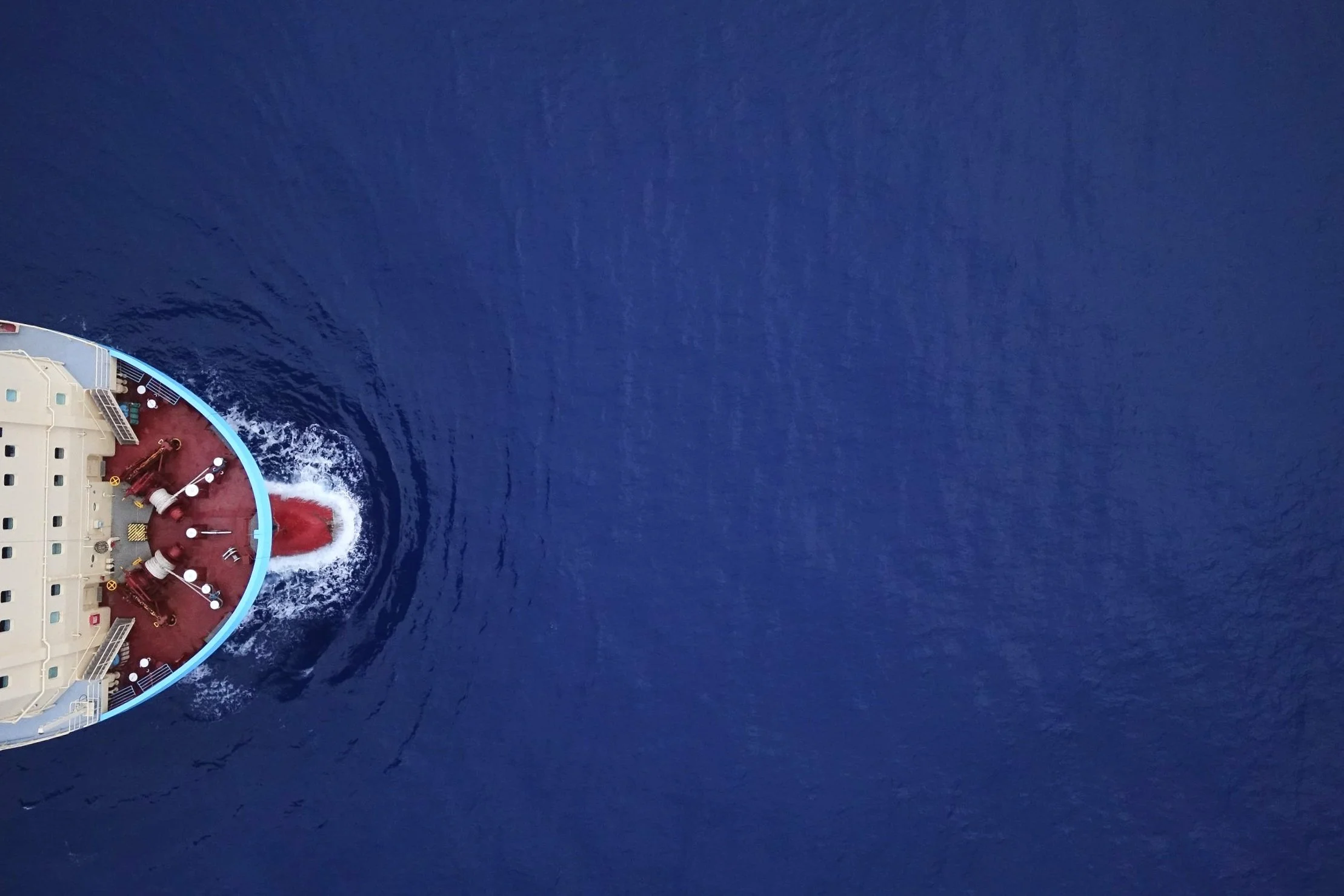
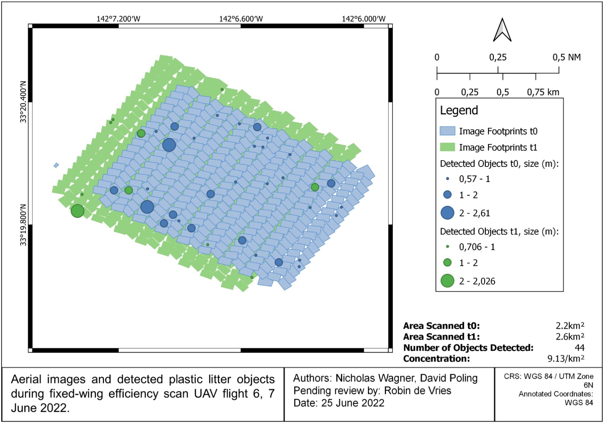
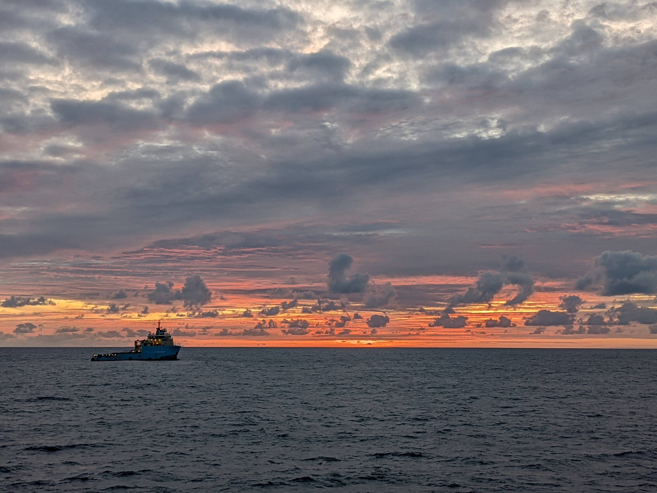
In 2021 and 2022, ForeSight Drones partnered with Oceans Unmanned, 501(c)(3) based in Santa Barbara, CA. The mission was to fly a ship-launched 6’ wingspan fixed-wing amphibious UAV to collect marine debris data at the Great Pacific Garbage Patch. The goal was to illuminate the distribution and concentration of marine debris to benefit the clean-up efforts of The Ocean Cleanup, NGO based in Rotterdam, The Netherlands.
Results
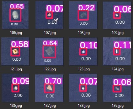
Between two 6-week campaigns, 34 flights were conducted, collecting ~27,000 images, and detecting 3000 individual pieces of marine debris. Images were post-processed using a machine-learning based object detection model, and mapped in GIS to analyze size classification and debris densities. This novel approach to aerial marine debris mapping proved effective for collecting large amounts of data to fill the scale-gap between remotely sensed satellite imagery, and trawl-based sampling, while also illuminating the challenges present in operating hand-launched, amphibious belly-landing UAS from an off-shore work vessel.
Services
Client
2021 & 2022
Project Date



Technical Presentation
ForeSight founder, Nick Wagner, presenting at the PNAMP Remote Sensing Forum, December 2021.
Advance to t=46:00 to begin presentation.
“The UAV campaign results provide a dataset that sparks new insights into the plastic density in the North Pacific subtropical gyre, and that can aid in refining advection models specifically for floating macroplastic (> 50 cm).“
Robin de Vries, Geospatial Analyst, The Ocean Cleanup
Short video available on Twitter/X.
FEATURED CASE STUDY


